Satellite imagery, public transport routes, alternate routes, new search and route planning interface for Android, large accessibility fonts support for iOS, and more in the June 2026 update
June 29, 2026
There are many new exciting features and bugfixes in the June Organic Maps update to try out, including:
- Satellite imagery
- Public transport routes
- Alternate routes
- New search and route planning interface for Android
- Large accessibility fonts support for iOS
Get it at https://get.omaps.org or on the App Store, Google Play, Huawei AppGallery, Obtainium, Accrescent, and F-Droid and let us know what you think!
Detailed changelog
- NEW! Public transport routing by subway, light rail, bus, and tram (Viktor Govako)
- NEW! Alternate routes: in addition to the fastest route, the app now shows the shortest route (Viktor Govako)
- NEW! Walking and cycling route warnings about steps, gates, and lift gates along the way (Viktor Govako)
- NEW! Select any color for bookmarks (Alexander Borsuk, Mikhail Listratsenka)
- NEW! Support for British National Grid (OS Grid), Irish Grid, and Irish Transverse Mercator (ITM) coordinates (Alexander Borsuk)
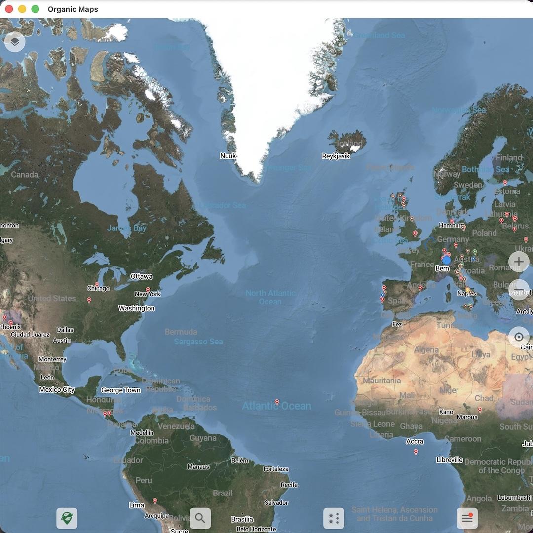
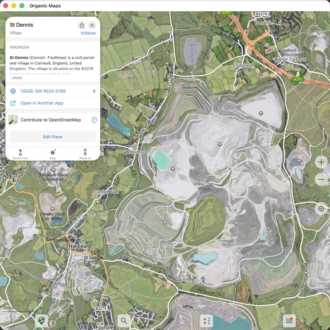
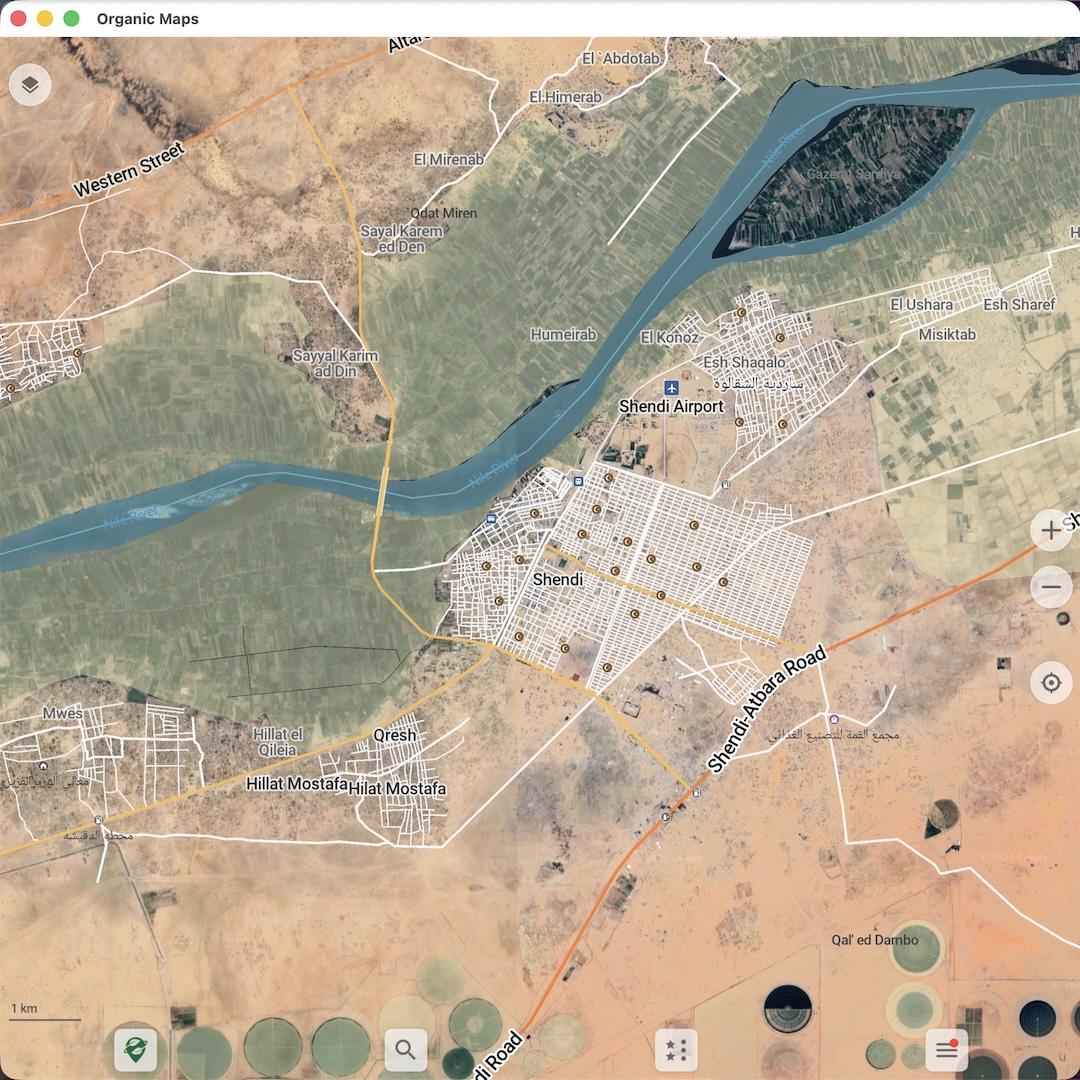
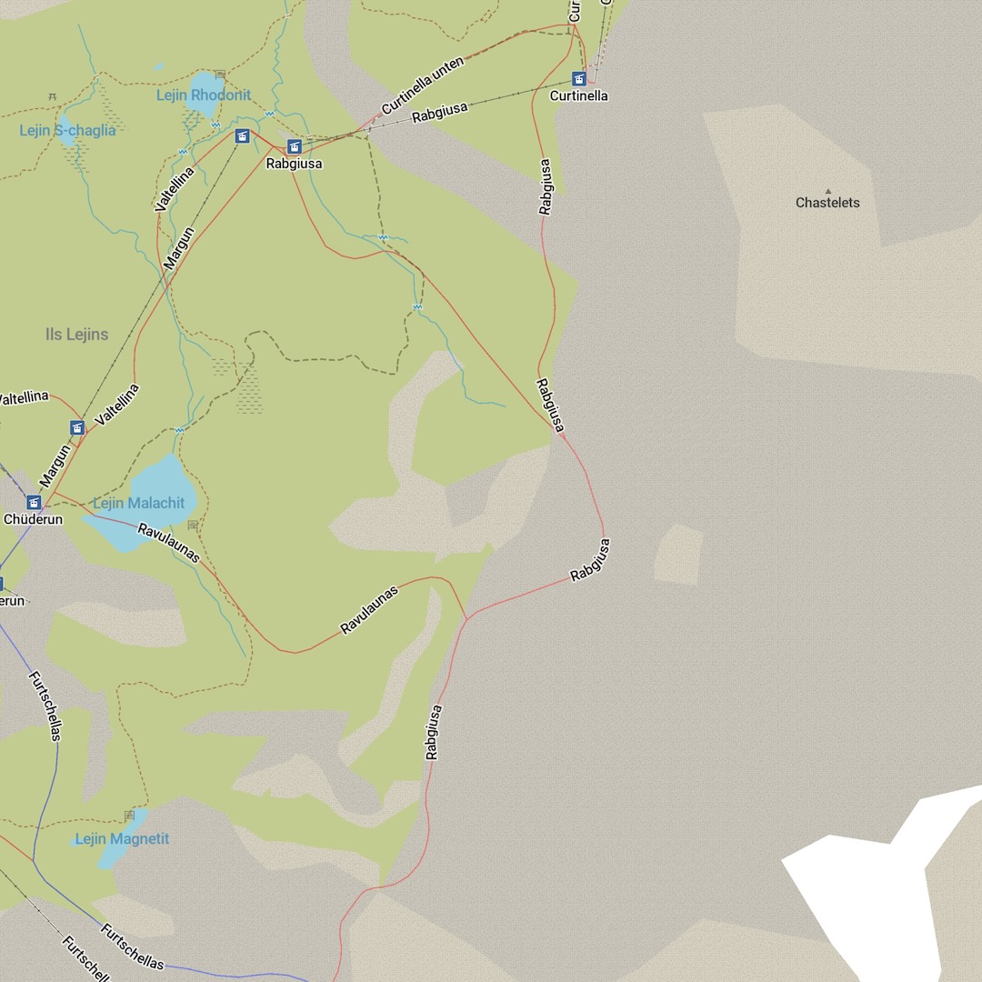
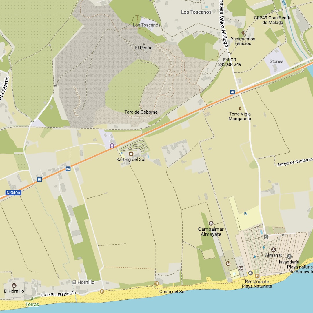
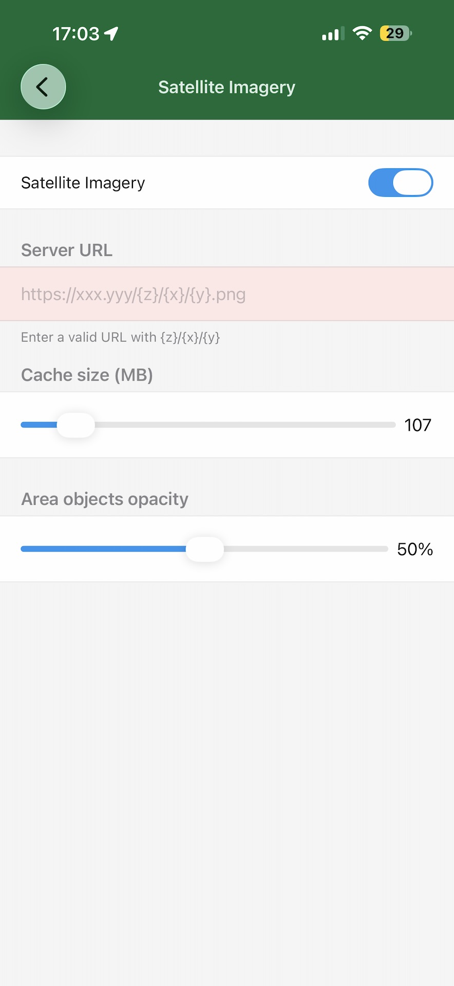
- EXPERIMENTAL: Enable Satellite Imagery in Organic Maps settings with a custom raster tile server URL. We are still working on our own server, so please find an openly available one with
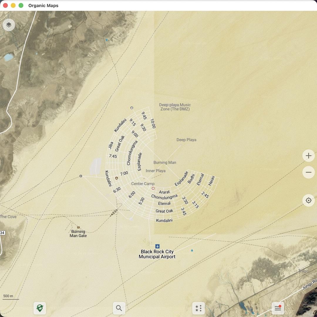
{x},{y},{z}placeholders in its URL (Viktor Govako, renderexpert) - OpenStreetMap data updated as of June 24 (Viktor Govako)
- Wikipedia data updated as of June 20, including articles in Italian (Alexander Borsuk)
- Type
?map-download-server:https://your-server.com/in the search window to override the Organic Maps map download servers. Type?no-map-download-serverto remove the override (Alexander Borsuk)
Map rendering & styles
- Better-looking patterns for beach, sand, scree, bare rock, orchard, and vineyard areas, plus protected area and wetland hatching (Alexander Borsuk)
- Smoother curved text labels for roads and rivers (Viktor Govako)
- Rivers, streams, and wetlands have higher contrast and are more visible in dark mode (Alexander Borsuk)
- New and improved icons for category search and search results on the map (Anton Makouski)
- Improved multilingual text shaping and rendering (Alexander Borsuk)
- Various bug fixes and performance improvements (Viktor Govako)
Tracks, bookmarks & routes
- GeoJSON tracks now keep elevation and timestamps on import and export (Alexander Borsuk)
- Fixed a crash after moving a track to another list (Viktor Govako)
- Websites are now shown for heritage sites (Viktor Govako)
- Operator names are now shown for unnamed search results. For example, an unnamed ATM now shows its bank (Anton Makouski)
- Editor: corrected the description text for apartment-building OpenStreetMap edits/changesets (titanniya542-spec)
- Improved HTML detection in bookmark and track descriptions (Alexander Borsuk)
iOS
- NEW! Accessibility support for Dynamic Type and large fonts (Kiryl Kaveryn)
- NEW! Tap to choose between overlapping tracks and routes (Kiryl Kaveryn)
- Improved HTML rendering of bookmark and track descriptions (Kiryl Kaveryn)
- Cleaner table styling in the UI (Kiryl Kaveryn)
Android
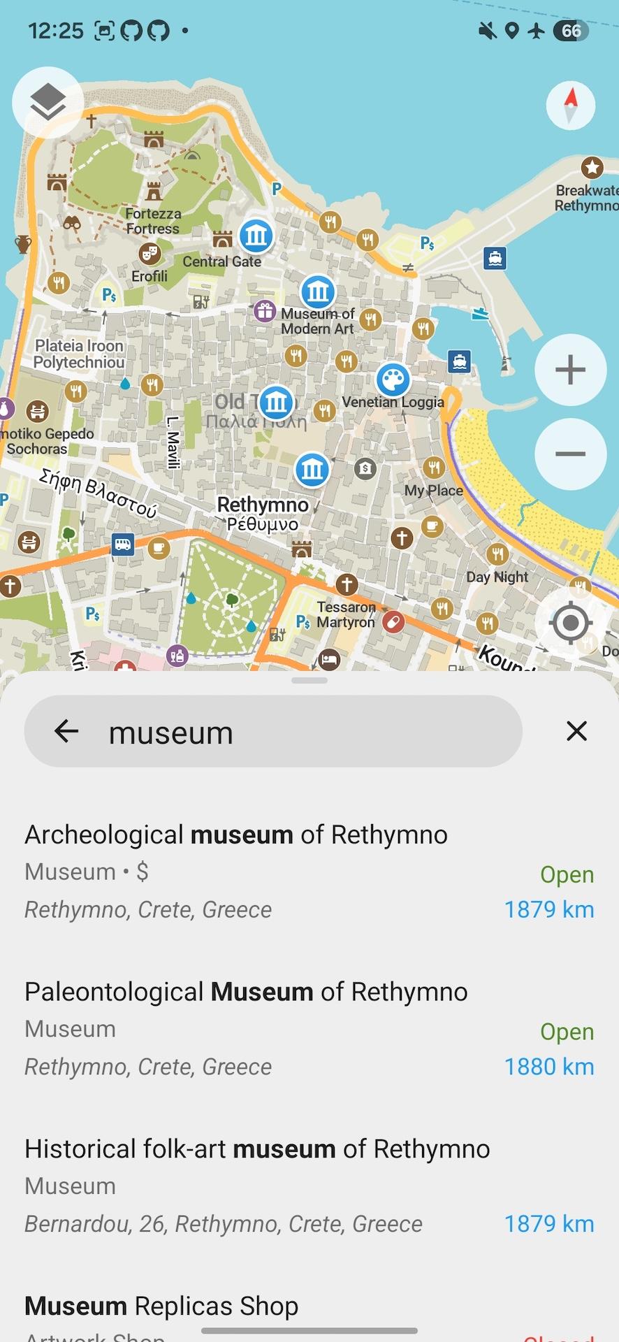
- NEW! Search interface (Kavi Khalique, Mikhail Listratsenka, Alexander Borsuk)
- NEW! Routing interface (Rishan, Mikhail Listratsenka, Alexander Borsuk)
- Improved HTML rendering of bookmark and track descriptions (Mikhail Listratsenka)
- Reduced APK size (Alexander Borsuk)
- The voice icon is shown as disabled when no text-to-speech engine is available (Mikhail Listratsenka)
- Long bookmark and track descriptions now show a "…more" button (Mikhail Listratsenka)
- Various UI fixes and an API fix for returned point IDs (Mikhail Listratsenka)
Desktop
- Support for switching the displayed coordinate system (Alexander Borsuk)
- Information about the selected place is now displayed on the left (Viktor Govako)
- Fixed the context menu position (Osyotr)
- Fixed OpenStreetMap login and edits hanging on Qt versions 6.4 and earlier (Alexander Borsuk)
- Fixed unexpected map style switching during routing on macOS (Alexander Borsuk)
- Fixed a crash when closing the macOS app after exporting a KMZ file (Alexander Borsuk)
Translations
- Cantonese turn-by-turn voice guidance (Alexander Borsuk)
- Updated German and French translations (Wuzzy, Alexander Borsuk)
- Fixed incorrect "onto street" voice guidance translations for Chinese, Serbian, and Catalan (Alexander Borsuk)
Join beta testing to try early features and report issues:
We are grateful to all our users and contributors, to those who donate and give Organic Maps 5 stars in app stores. Together we can build the best maps app!
With love, Organic Maps Team