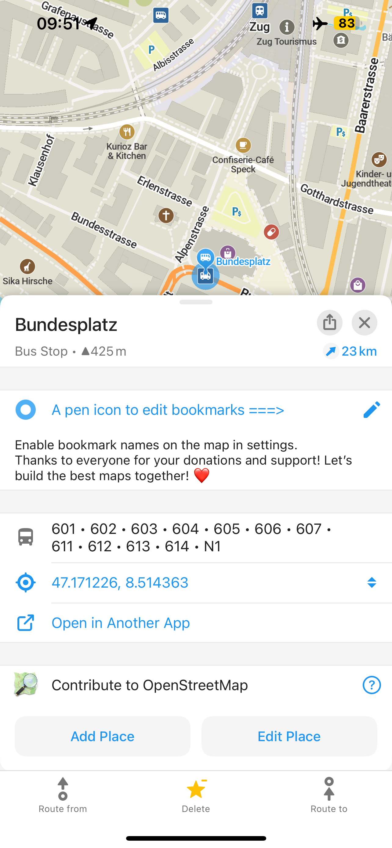
Now, when you select a bus or tram stop, you can see the public transport route numbers. This is just the first step! Next, we plan to show public transport routes directly on the map. iOS users can also enjoy redesigned OpenStreetMap contribution buttons ("Add Place" and "Edit Place").
We are grateful ❤️ to our contributors, as well as for your donations and your support.
Detailed Release Notes
- NEW! Route numbers are now shown at bus stops (Rodrigo Salgueiro, Viktor Govako, Kiryl Kaveryn)
- Updated OpenStreetMap data as of August 29
- Outdoor style: sidewalks are now visible from zoom level 13 (Viktor Govako)
- Many map icons converted from PNG to SVG (David Martinez)
- Ladders are now displayed and used in routing (Viktor Govako)
- Power stations, substations, barriers, wicket gates, security offices, and guardhouses are now shown on the map (Viktor Govako)
- Fixed icons for communication towers (Viktor Govako)
- Clearer roundabout navigation instructions (Viktor Govako)
- Expanded searchable cuisine categories (Interactiondesigner)
- Power plant areas rendered as industrial (Viktor Govako)
- Brown tourism POIs are now visible in dark mode (David Martinez)
- Libraries appear earlier, from zoom 16 (David Martinez)
- No more auto‑zooming to the full route when adding intermediate stops (Alexander Borsuk)
- Updated translations (Weblate contributors)
iOS
- NEW! Redesigned "Add Place to OpenStreetMap" and "Edit Place" buttons (Kiryl Kaveryn)
- Fixed the jumping crosshair when adding a new place to OpenStreetMap (Kiryl Kaveryn)
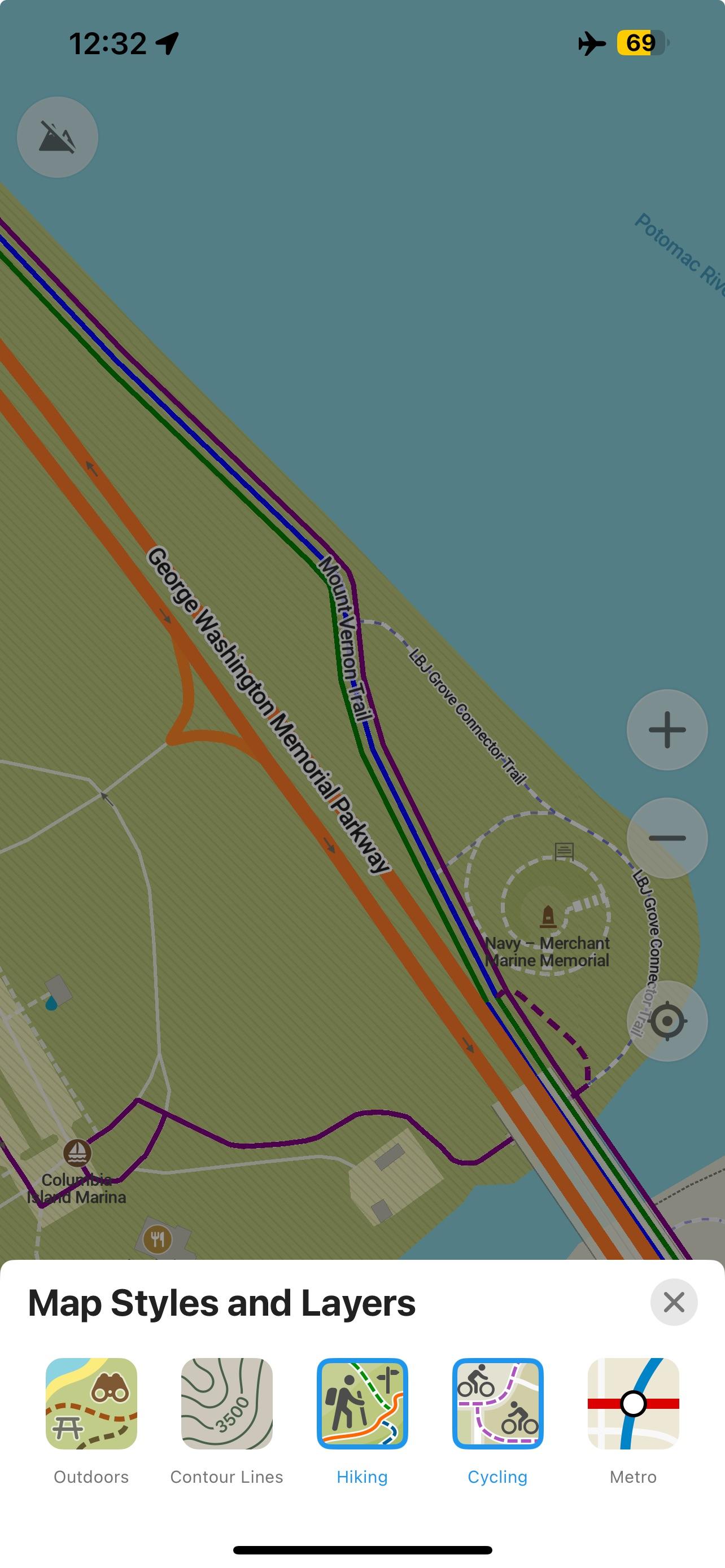
- New icons for map layers and menu (Kiryl Kaveryn, @euf)
- Removed redundant elevation updates during track recording (Kiryl Kaveryn)
- Multi-line titles are now supported in the bookmark list selector (David Martinez) and in the Place Information Page (Kiryl Kaveryn)
- Track recording start/stop and point updates are now more reliable (Kiryl Kaveryn)
- All tappable icons on the place details page now use a unified blue color (Kiryl Kaveryn)
- The "Update maps to contribute" button is now shown in the menu when maps are too outdated (Kiryl Kaveryn)
Android
- New layer icons (Andrei Shkrob, @euf)
- The touch area for the edit bookmark (pencil) icon is now larger (Kavi Khalique)
- Fixed a crash when saving certain routes and a rare crash on startup (Viktor Govako)
- Lane guidance has been corrected in some navigation cases (Andrei Shkrob)
- Restored the original order of predefined bookmark/track colors (Andrei Shkrob)
- Fixed the "Clear Search" button when editing cuisines (Ansh Jain)
Get the latest September version of Organic Maps from the App Store, Google Play, Huawei AppGallery, Obtainium, Accrescent, and F-Droid.
If you haven't tried it yet, you can now enable a bookmark names on the map in Organic Maps settings. Also, a pencil ✎ icon is now used as a quicker way to edit bookmarks.
P.S. Don't forget, you can sign up for our beta testing program to get early access to experimental and upcoming features for iOS and for Android.